A Guide to the Larapinta Trail Climate
This is a remote Central Australian walk where climate and conditions are in evidence for every kilometre of the Larapinta Trail. One would be hard pressed to find a better time to put in the miles than the cooler trekking season of April through August; daytime is more amenable then, though one should not be caught unprepared by cold nights or a change in the wind.
The trail makes its way along the West MacDonnell Ranges out of Alice Springs in the direction of Mount Sonder (Rwetyepme). You will see it put at 221 km or 223 km by different operators and sources, a matter of how they measure the route. In any event, it is no casual outing but a multi-day affair in Tjoritja / West MacDonnell National Park that entails rocky ground, spinifex, red rock gorges, dry creek beds and waterholes in the most remote of places. Charlotte Redfern has some words in her Red Centre outback guide on what the weather is like when you are on the ground, the things that can trip up a walker and how to make plans that do not rest on optimism and clear skies.
Plan For The Red Centre
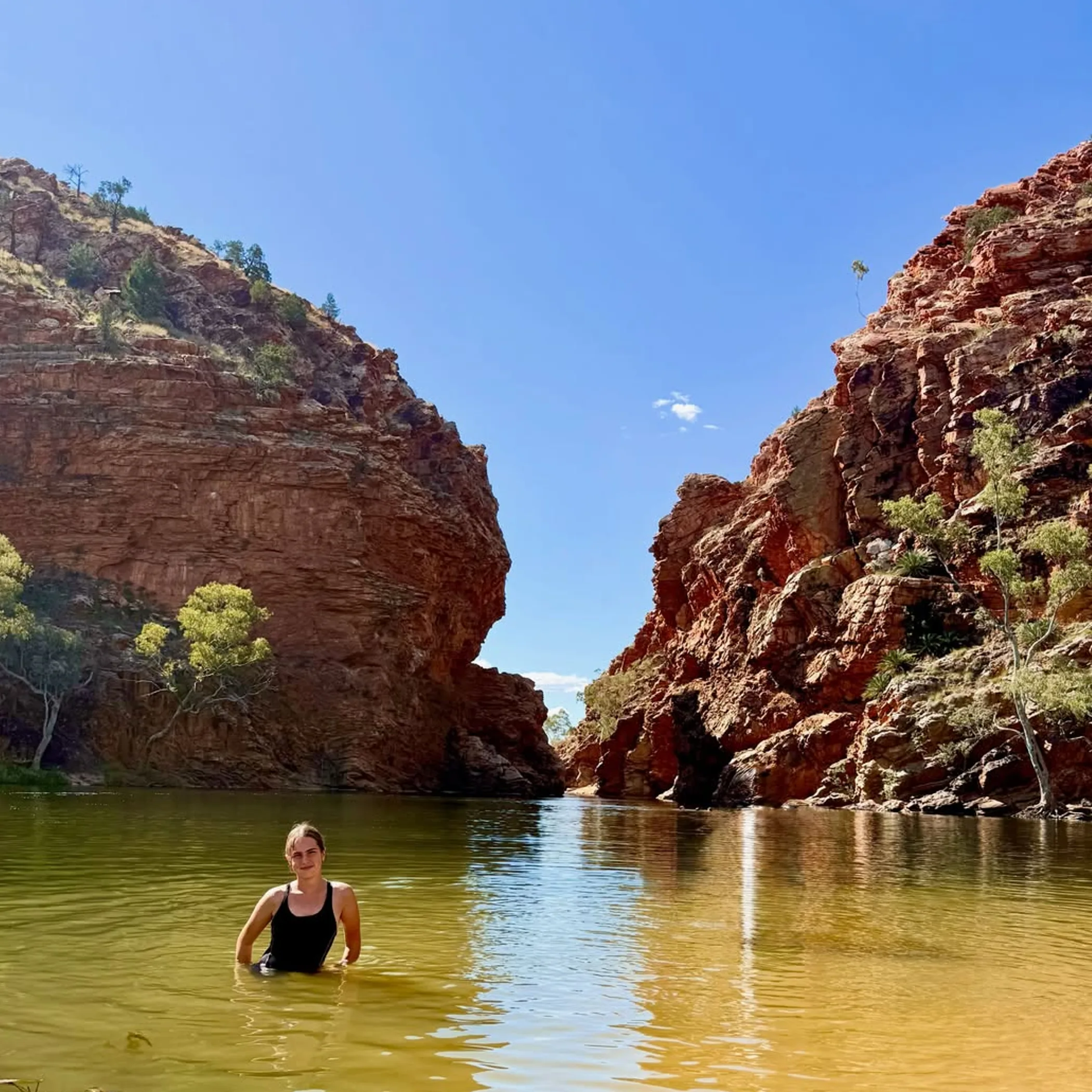
Expect semi-arid conditions on the Larapinta Trail: hot summers, strong sun, dryness and wide temperature differentials from day to night. Then there is rain that does not stick to the pattern; a brief storm can alter water availability and make of creek crossings and access roads something quite different in short order.
A good rule is to consult the Northern Territory Government information for Tjoritja / West MacDonnell National Park before you depart Alice Springs for any park alerts, fire warnings or closures. And since much of the route has poor mobile reception, an offline navigation system, a fully charged phone, a written plan of your trip and a paper map are still essential.
Conditions At A Glance
| Factor | What To Expect | Why It Matters |
|---|---|---|
| Route length | Some 221 to 223 km over 12 sections | Access arrangements and measurement will dictate the distance |
| Best window | April – August typically | Heat stress is less of an issue in the day, if not the very cold of night |
| Hot period | Intense summer heat from October to February | Unless timed with care, long days can be unsafe |
| Terrain | Steep climbs, loose surfaces, spinifex and rock | You will not cover the kilometres as fast as you think |
| Water | Dependent on rainfall, section and management | Sufficient water must be carried and sources verified |
| Exposure | Open ridges and valleys afford little shade | Dehydration and the elements are insidious |
Seasonal Weather
There is considerable variation in the weather on the Larapinta Trail over the course of a year. What is agreeable in the morning can be punishing come early afternoon and turn properly chilly after the sun goes down. Do not apply the beach-holiday logic of “summer is warm, winter is mild” to Central Australia. On this trail, the season will have its say on your pack weight, sleep, water needs and how much is left in the tank for a rocky ascent.
Autumn: A Good Balance
For many the trekking season gets underway in April or May. The worst of the summer heat is abating even if days are still warm. When night falls the desert does not stay warm, so a proper quilt or sleeping bag is called for. There are hot afternoons to be had in autumn on an exposed ridge; do not let a pleasant morning lull you into thinking the day will remain so. Make for the shade and put in some longer rests.
Winter Cold
If cooler days are to your liking, June to August is the most dependable time to be out. But at an open valley or campsite the temperature can fall in a hurry after a still evening. First timers are often taken aback by the cold of the desert before sunrise. Put on the beanie, gloves and a warm jacket and you will not be lying awake with your teeth chattering. The 5 am cold is not negated by the ferocity of the sun later on.
Spring Heat
An experienced walker might find September suits him well provided he is mindful of the temperatures on the rise. The country can look dry while the afternoon becomes trying. Wind has a way of cooling the skin and giving a false sense of mildness but the body’s thirst for water is undiminished.
A full walk in the October to February period is another matter entirely. With bushfire closures, storms and the summer heat, safety and access are compromised. Some may go to individual sites on local recommendation, but a through-walk demands careful contingency and a high tolerance for the heat.
Your Walking Window
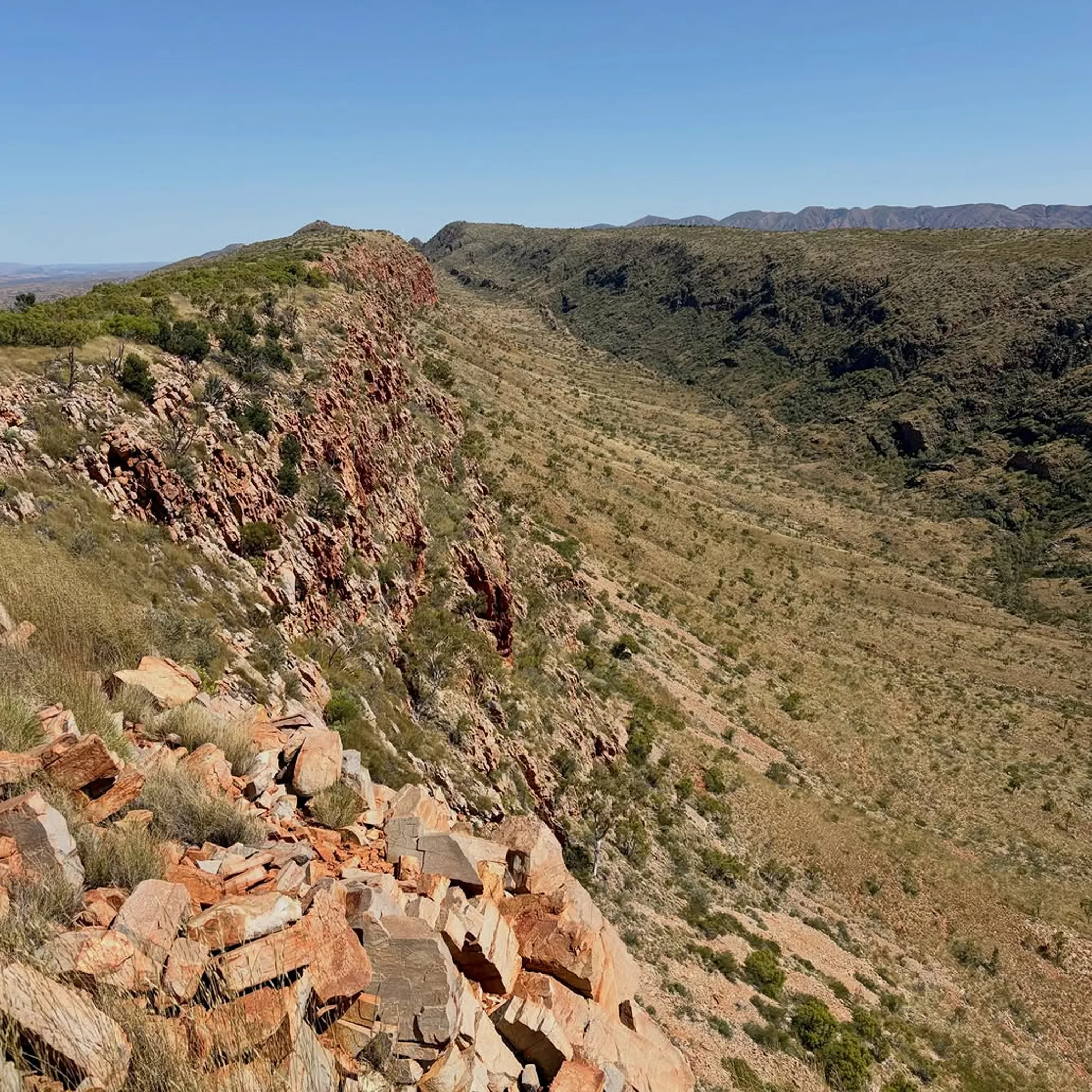
For the Larapinta Trail one is hard pressed to find a better time than between April and August, though the particulars of your itinerary, support, fitness and how you stand the cold will dictate the final decision. The cooler months are more comfortable but they do not absolve you of the responsibility for navigation, emergency contingencies or water.
There is a tendency for people to put the wrong spin on the season. They want to know the nicest month for weather; it would be more apt to ask which conditions are in keeping with the way you walk. A hiker in good shape with a light pack can make of a shoulder-season itinerary what he likes, yet a novice in the desert is well advised to opt for conservative distances and the lower temperatures.
Make The Season Your Own
This is a trail for those who have no qualms with long days, the odd campsite and a lack of services. One should be at ease with steep ground, the heat and the pack, without anticipating a café or rescue vehicle on the next bend. If you are not up to carrying enough water, or if the remoteness of the desert is not to your liking, or you have little experience off an urban path, then the trail is not for you. No character flaw there. The outback is not going to make an issue of it.
Summer Hazards
The chief seasonal hazard is the summer heat. It is easy to become dehydrated or suffer heat stroke from the sun and unrelenting stretches of open country before you appreciate how matters have worsened. Warmer months call for an early start, reserving the tough climbs for when it is coolest and having a turnaround time set in stone. Do not be fooled by sweat; in this dry air your clothes may not show it even as your body expends fluid.
What Heat Will Do To You
A map might indicate a short distance but loose rocks, spinifex and the heat will see to it that you put in less ground. Even a group accustomed to a brisk pace can be reduced to a crawl on exposed terrain once the packs and water are factored in. Be on the lookout for dizziness, nausea, confusion or any loss of coordination. Put a stop to it, get into the shade and cool the individual down. Offer fluids if he is with it and call for help. Heat stroke is not something to put behind you, it is life-threatening.
Winter Nights
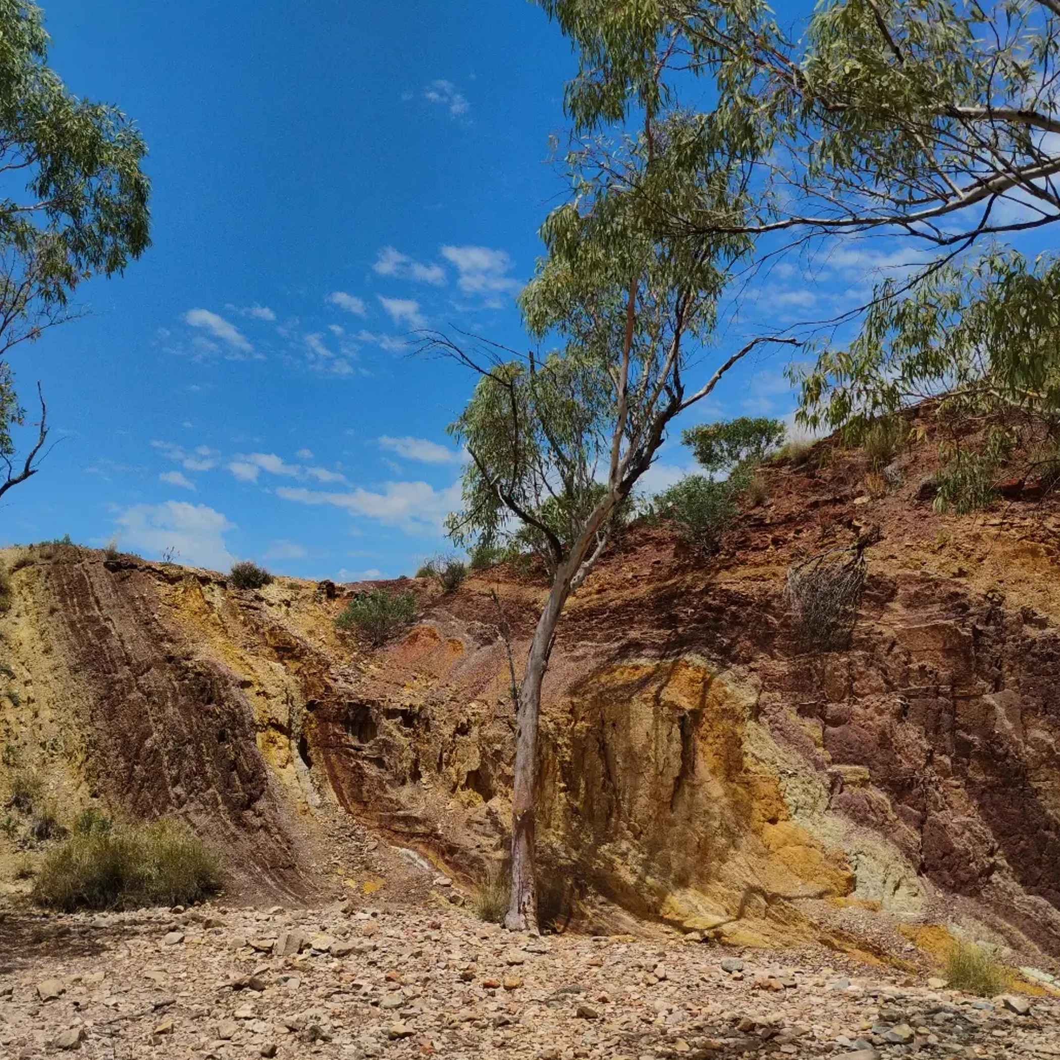
Then there is the winter cold. An otherwise fine day of walking can give way to a night that puts your sleeping system to the test, particularly if a shower or perspiration has left your clothing damp. See to it you have a dry change of sleepwear stowed away from condensation and rain. An insulated mat is a must to keep the cold ground from sapping your warmth all night. By day the desert is like a red oven, after dark it is every bit the freezer.
Take Advantage Of The Morning
It is tempting to take your time on a cold morning but an early departure makes for better use of the day. Have your warm layers to hand and do not relegate the stove and breakfast to the bottom of the bag. On a ridgeline the wind chill is a factor; a spot in a gorge is one thing, an exposed saddle quite another. Make sure the tent is sound and the loose things tied down, and do not be surprised to find dust where you did not think it could go.
Rain, Wind And Dust
A storm can put a different complexion on the trail in a hurry, turning creek beds to running water and making rock surfaces treacherous for vehicles or on foot. In the warmer months wind will hasten dehydration, in winter it is an added chill. And dust, which can obscure the track and get in your eyes and lungs. Eye protection is called for and you should shield your electronics and gear from the finer particles.
No Smooth Sailing
Do not expect the Larapinta to be smooth. There will be uneven sandstone, sharp rocks and narrow ledges that require the use of your hands. A pair of shoes with some grip is worth more than anything fashionable and lightweight that is in tatters in two days. Spinifex is just part of the environment even if it seems to be after you when it latches on to your socks. Gaiters are useful for the legs and poles can take the strain off on a descent with a full pack.
A Look At The Twelve Sections
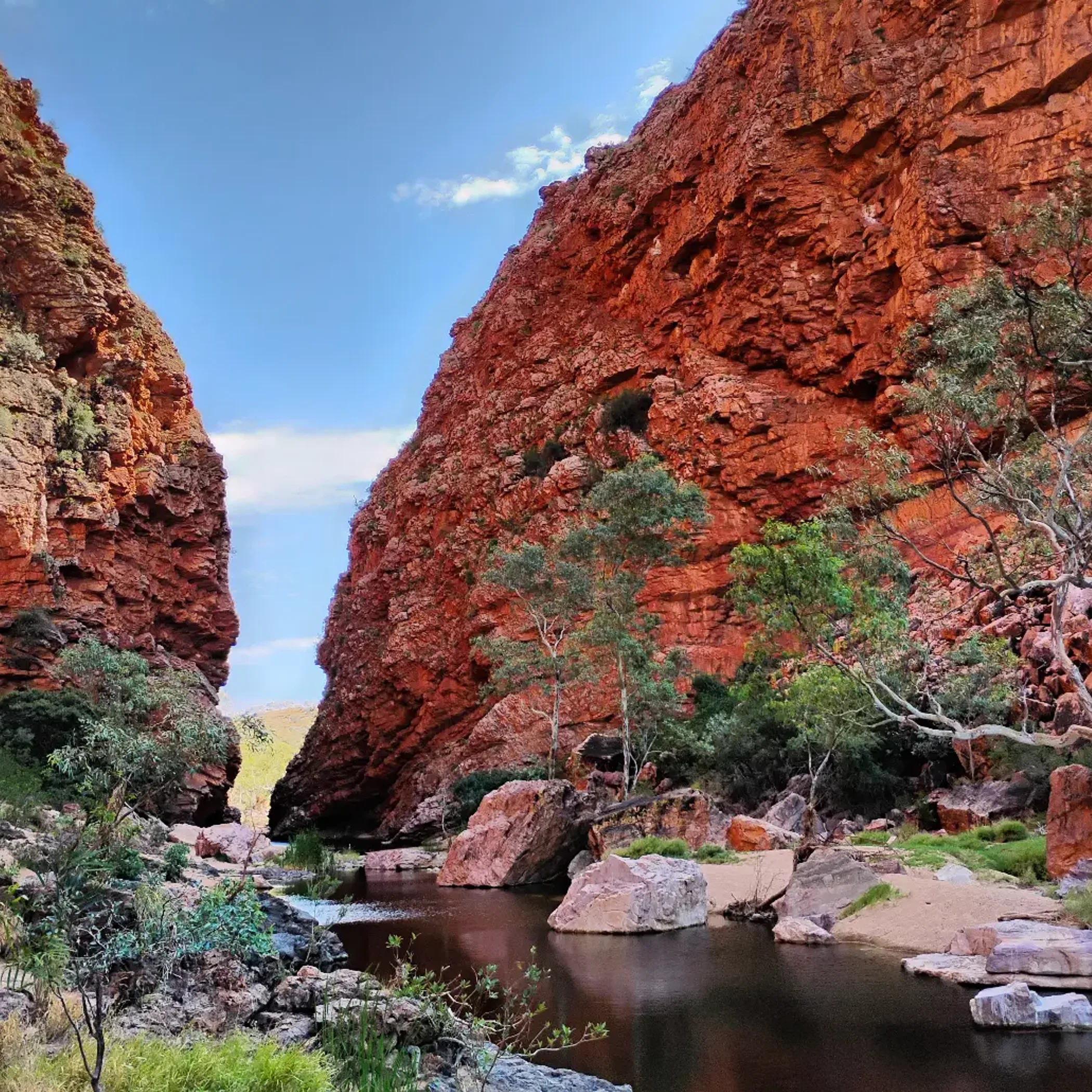
There is no uniformity to the 12 sections. You will find some are more open, others present a steeper climb and still others where you are reliant on vehicle access or good water planning. It is best to regard the section numbers as units for your plan, not an assurance of how much ground you can put in on any given day with ease.
| Section Type | Typical Challenge | Practical Planning Point |
|---|---|---|
| Gorge and waterhole | Rocky underfoot, surfaces that are slick with rain and shifting shade. | Make allowance for water checks and to put in a careful pace. |
| Ridge | Wind, little in the way of shade and exposed climbs. | Be up and about early with sun protection to hand. |
| Valley | The heat and dust build up over long open tracts. | Distance is not the only measure of difficulty here. |
| Mount Sonder approach | Upper slopes are exposed and the going is steeper. | Conserve energy for the way back. |
| Access-linked | Where you need roads and parking and to make vehicle transfers. | Check on the state of the road and your pickup arrangements. |
One Day To Spare
When time is limited to a day, it makes sense to head for a landmark or an easily reached part of the trail close to Alice Springs instead of trying to get a run in on the whole thing. A visit to Standley Chasm, Simpsons Gap or the Redbank Gorge and Mount Sonder area is a good way to sample the West MacDonnell Ranges, though one must be mindful of varying access rules and road conditions.
What you want is a walking experience with terrain to match your fitness, plenty of daylight and a straightforward return. There is more to be said for a short route done without strain than an over-ambitious plan that leaves you to have a hot and unpleasant scramble to the car.
Packing For What Comes
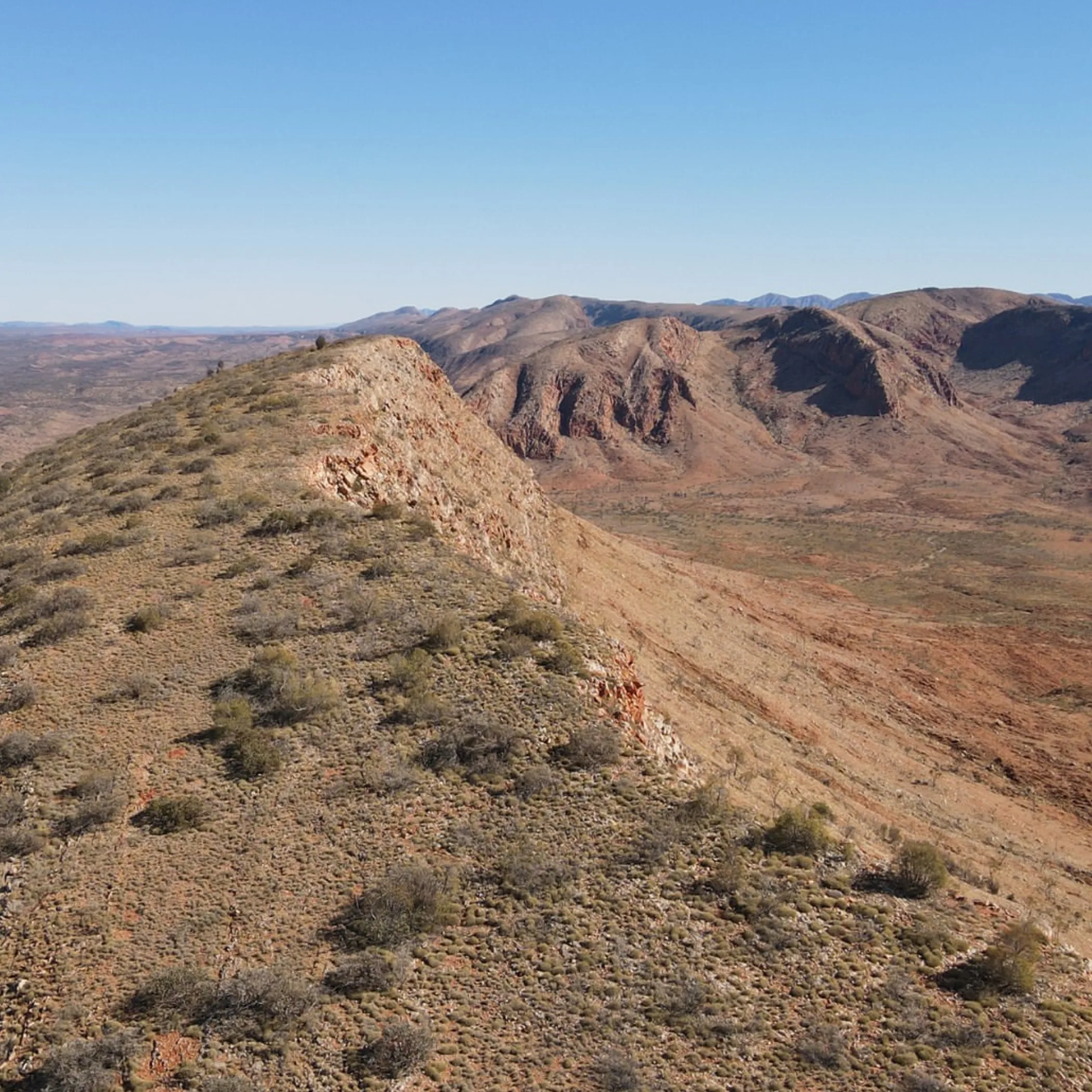
Remote travel and temperature extremes will test your pack. While there is a place for lightweight gear, it is not worth jettisoning the essentials to shed a few hundred grams when resupply is not on.
- For the section ahead take enough water and then some, along with navigation in the form of a paper map and offline digital version. Sun protection in the way of a broad-brimmed hat and sunglasses; warm layers for the night; gaiters, blister kit and footwear you can trust; first-aid and a head torch; food with something in reserve; rubbish bags and, where called for, a satellite communicator or personal locator beacon.
- All the details of access, vehicle transfers and food drops should be in order before you leave. Know where you can get water and if it needs treating, what the campsite situation is and how you will make your way back to Alice Springs or on to transport.
Food drops lighten the load but do not dispense with the requirement for backup rations. Put labels on them and keep them from moisture and animals in accordance with park rules. Do not be taken in by a waterhole that looks clean enough to boil the billy, treat it regardless.
Safety In The Field
You should have your safety covered well before you come to the first red rock gorge. Put in a check-in time with someone you can rely on, giving due course for delays, and let them have your itinerary down to the vehicle and camp details. To register a trip or have emergency comms is prudent, not panicky.
In bad visibility or on an exposed ridge and in stormy weather the group should stay together. Drink at regular intervals and put something in your system before you are ravenous, and be proactive in looking after your feet. Should an injury occur or there be any hint of heat illness in a member of the party, put the itinerary on hold and see to it while there is still light and energy in the day.
Getting The Logistics In Hand
Most walkers use Alice Springs as their service point for the Larapinta Trail and will put in place a hire car, shuttle, private transfer or an organised trek. Some of the access is via sealed road, but not all; unsealed roads can be rough once the rain has been through. One has to put some thought into the logistics of getting to the starting point and back from the western end, as well as how a vehicle is to be left and what it takes to get from one section to another. There are variations in the cost of parking, permits, transport, accommodation, food, equipment hire and access fees; do not make a booking on the strength of an old blog or something you put down to rumour by the camp stove, but verify the figures in Australian dollars first.
Factor in time for the likes of road delays, weather, a puncture or simply walking at a more sedate pace. The Stuart Highway is an efficient way to Alice Springs, yet there is no hurry in the final approach to a trailhead out in the remote. Give your undivided attention to the dust, corrugations, wildlife and road trains.
Expectation Versus Reality
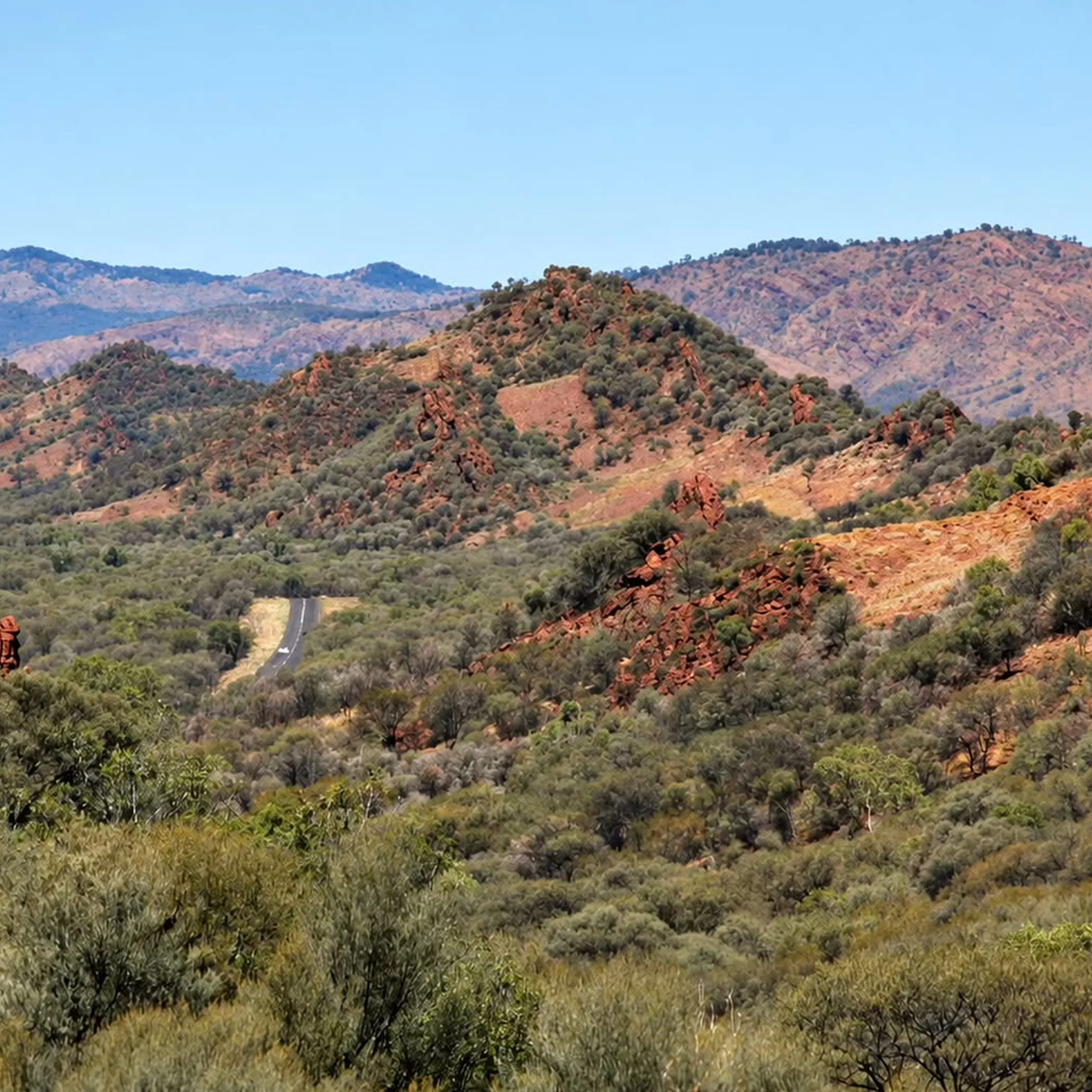
You might think the desert is hot all over. In fact the temperature can change in a hurry from sunrise to sunset and a winter ridge will feel raw with the wind.
A marked trail is supposed to make navigation easy enough. But then there are junctions, side trips, fatigue and the elements to contend with and things can get confusing.
Waterholes do not mean water is assured. Availability is not fixed so have a contingency plan and up to date information.
The distance of the route is not the whole story of the day’s exertion. Rock, pack weight, elevation, heat and stops are equally important. You will find the most agreeable itinerary is one that has spare time for photographs, repairs and when your legs ask to be put up for a while.
Frequently Asked Questions
When considering if the Larapinta Trail is in keeping with one’s experience and plans, these questions tend to arise. While the short answers will do, let the conditions on the dates in question be the deciding factor.
What Is The Best Time Of Year?
April through August is usually the preferred time for the Larapinta Trail since the days are not as warm as in summer. Then again winter has its cold nights, so see to it you have the right insulation and an itinerary you can put up with come the early morning chill.
Are There Dingoes On The Trail?
They are part of the Central Australian landscape in a general sense, but do not count on seeing them or consider it a given of any walk. Heed park advice, keep your food put away and do not feed the wildlife. Dehydration, falls, water planning and navigation are the more everyday worries.
How Difficult Is The Walk?
By virtue of the length, the rocks, the exposure and how remote it is, the Larapinta Trail is demanding. A beginner in good shape can manage a shorter section with some support, but a full end-to-end is not to be taken as a casual first outing.
How Many Days Does It Take?
For a complete traverse most will set aside two or three weeks, fitness and rest days permitting. An experienced hiker can put together a quicker schedule but be realistic and allow for water and food, recovery and any delays.
Is Summer Suitable For Walking?
As a rule of thumb the summer is the least accommodating for a full walk on the Larapenta Trail with the risk of heat stroke, rain and the odd closure due to bushfire or access. One may go for a shorter walk with a conservative plan and an early start provided local advice is followed, but cooler months make more sense.
Take The Trail Seriously
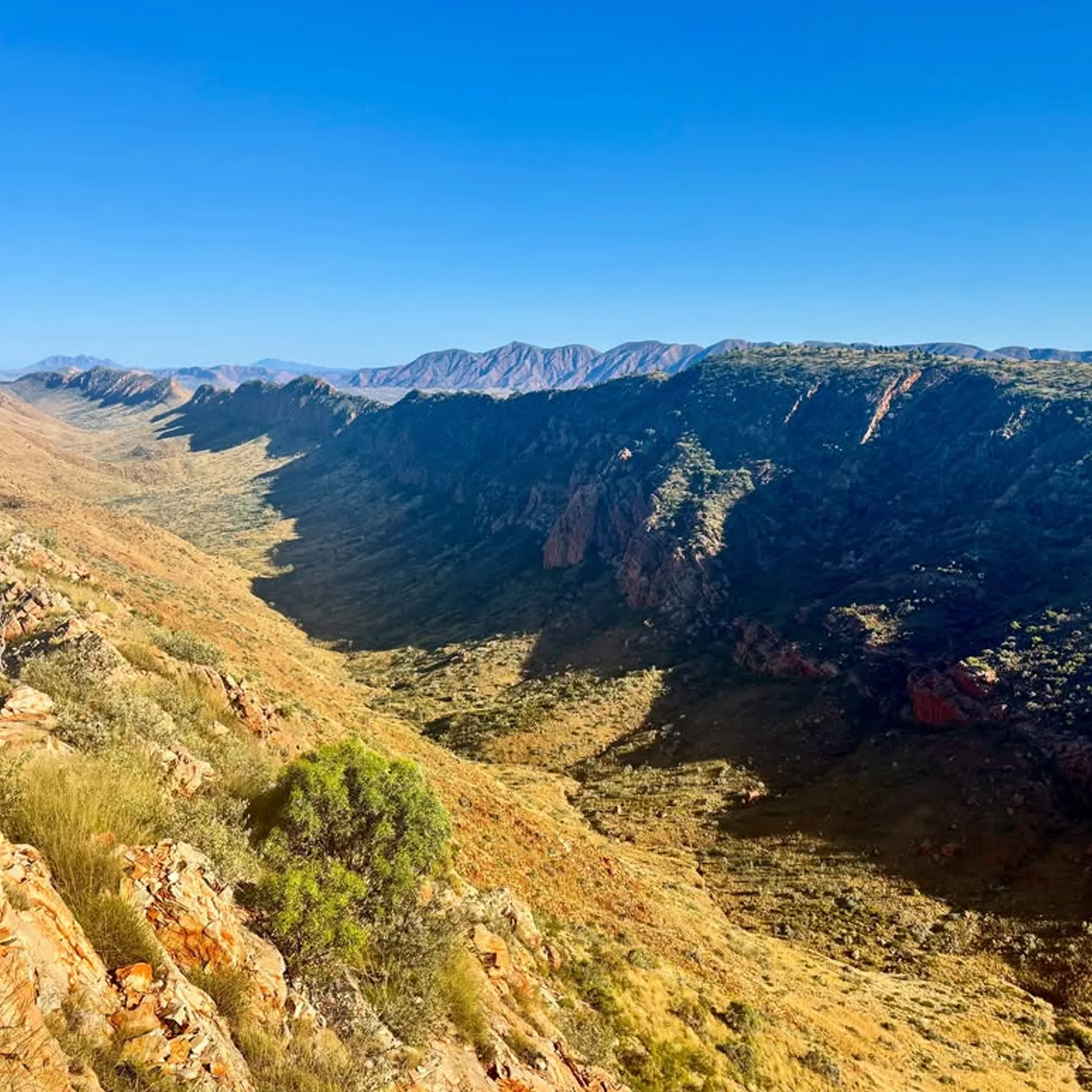
Bravado is not what the Larapinta Trail is about, preparation is. See what the current conditions are, have your water and warmth and pick a season within your means. And leave some leeway in the plan for the landscape to be what it is.
From the vantage of a Red Centre outback guide the advice is straightforward: respect the distance, protect your feet, slow down in good time and be up and about early. If you put in an extra rest the West MacDonnell Ranges are not going anywhere and you will thank yourself for it later.
{ “@context”: “https://schema.org”, “@type”: “FAQPage”, “mainEntity”: [ { “@type”: “Question”, “name”: “What Is The Best Time Of Year?”, “acceptedAnswer”: { “@type”: “Answer”, “text”: “April through August is usually the preferred time for the Larapinta Trail since the days are not as warm as in summer. Then again winter has its cold nights, so see to it you have the right insulation and an itinerary you can put up with come the early morning chill.” } }, { “@type”: “Question”, “name”: “Are There Dingoes On The Trail?”, “acceptedAnswer”: { “@type”: “Answer”, “text”: “They are part of the Central Australian landscape in a general sense, but do not count on seeing them or consider it a given of any walk. Heed park advice, keep your food put away and do not feed the wildlife. Dehydration, falls, water planning and navigation are the more everyday worries.” } }, { “@type”: “Question”, “name”: “How Difficult Is The Walk?”, “acceptedAnswer”: { “@type”: “Answer”, “text”: “By virtue of the length, the rocks, the exposure and how remote it is, the Larapinta Trail is demanding. A beginner in good shape can manage a shorter section with some support, but a full end-to-end is not to be taken as a casual first outing.” } }, { “@type”: “Question”, “name”: “How Many Days Does It Take?”, “acceptedAnswer”: { “@type”: “Answer”, “text”: “For a complete traverse most will set aside two or three weeks, fitness and rest days permitting. An experienced hiker can put together a quicker schedule but be realistic and allow for water and food, recovery and any delays.” } }, { “@type”: “Question”, “name”: “Is Summer Suitable For Walking?”, “acceptedAnswer”: { “@type”: “Answer”, “text”: “As a rule of thumb the summer is the least accommodating for a full walk on the Larapenta Trail with the risk of heat stroke, rain and the odd closure due to bushfire or access. One may go for a shorter walk with a conservative plan and an early start provided local advice is followed, but cooler months make more sense.” } } ] }